
A few weeks ago I found myself standing on the highest point in Ireland after hiking to the summit of Carrauntoohil for the first time. Then, two weeks ago, I made the ascent again. When Steve and I did the hike the first time, heading up the Devil’s Ladder and down the ZigZag route, we had gotten talking to a gentleman near the summit who, it sounded, had done just about every trail on the mountain. He recommended that next time we give the mountain a go, we head via Beenkeragh and Caher, the second and third highest mountains in Ireland, for a more difficult but equally rewarding hike. When we had a string of sunny, summery days, we did just that.
The back route of Carrauntoohil, known as the Coomloughra Horseshoe, starts farther away from Killarney than the front track. Drive past the turnoff for Cronin’s Yard, the usual trailhead, and on another twenty minutes or so to the Hydro carpark. When we arrived, at around 10am on a Tuesday morning, there were a few cars already there, but we could already tell this longer, more strenuous route would be much less traversed than the busy front paths.
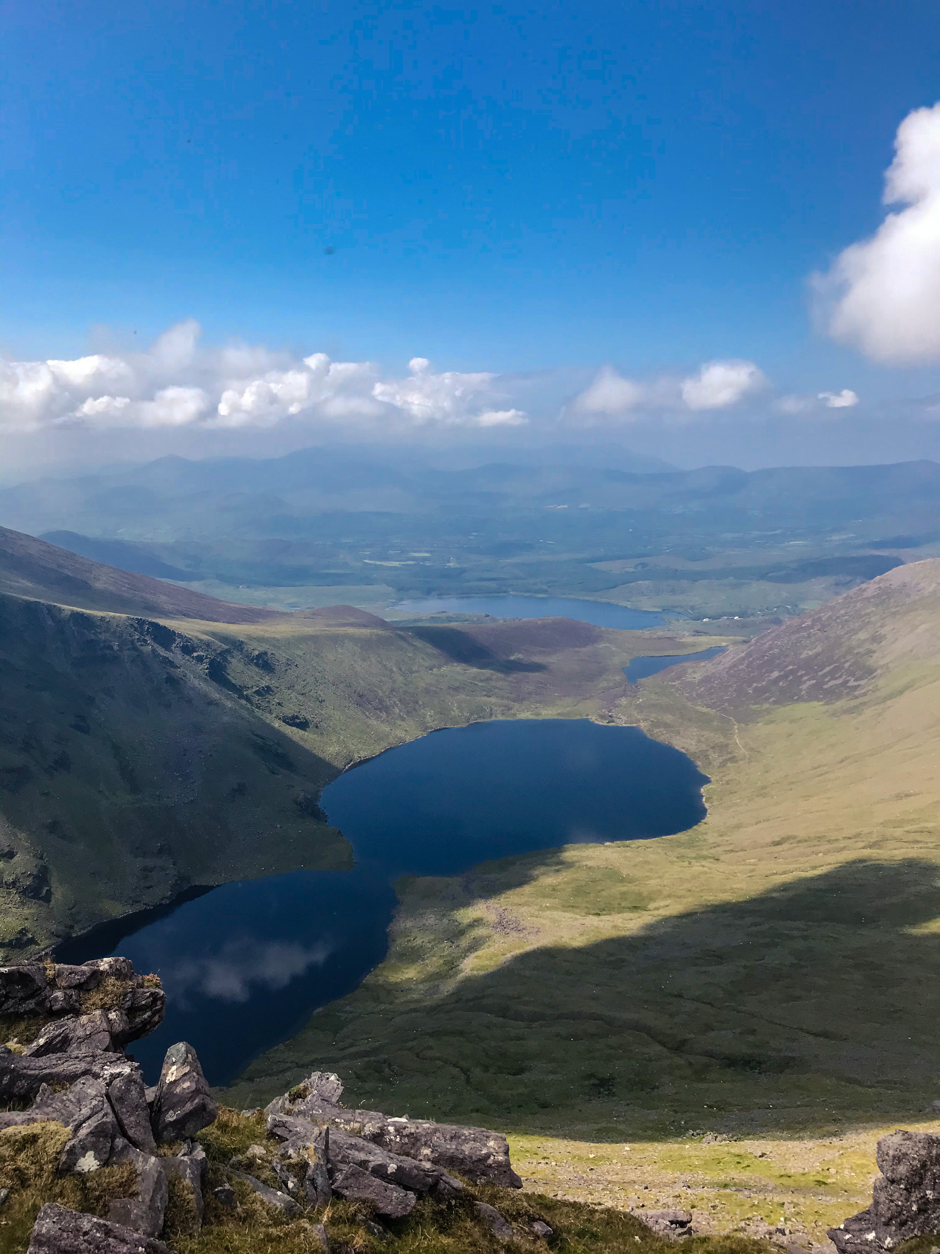
This 13-km walk starts with an incredibly steep uphill on a paved farm road. I joked that we’d be halfway up the mountain before we got onto the trail. When you reach Lough Eighter, the track levels out and you move onto dirt after going through a few sheep gates (remember, this is private farmland so be respectful, and no dogs allowed). Here you have a choice to go clockwise or anticlockwise around the horseshoe. The left side takes you up Beenkeragh first; the right, you start with Caher.
We decided to go right as we weren’t yet sure whether we would do the whole horseshoe or come back the way we came: we’d read that the Beenkeragh route is much dicier on a poor-visibility day, and although the morning had been on-and-off overcast as we began our walk. The trail is not as well marked as the front-side routes, but it’s still fairly obvious where you’re meant to go (up, mostly). The first summit you hit is Caher West, and then it’s a big, steep ridge up to Caher proper.
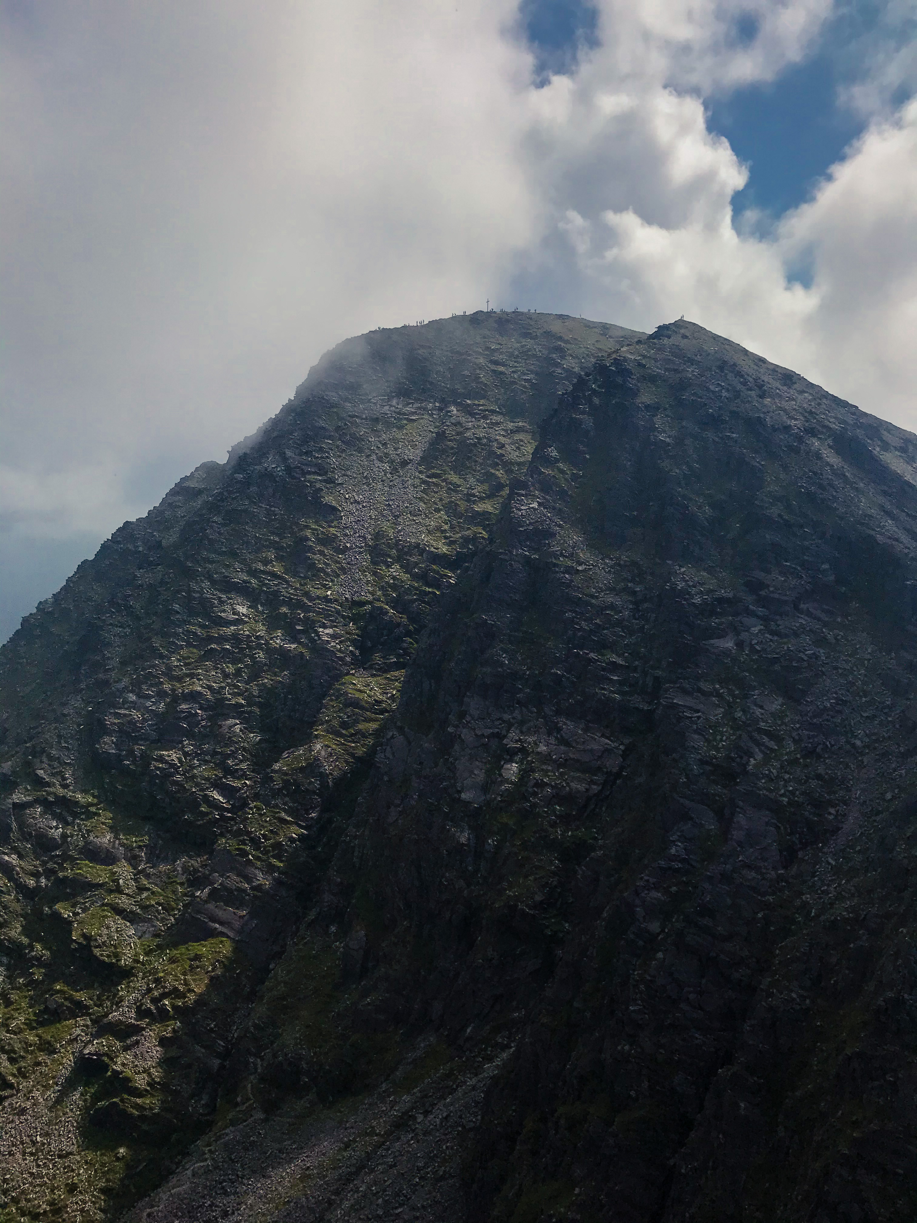
By this point, the fog and clouds were rolling in, alternating between clear views to the top of Carrauntoohil and its iconic steel cross at the summit, and complete greyout invisibility. However, although the path over Caher is a bit picky in places, it’s still relatively wide and well-traversed, so following it down and then back up to the top of Carrauntoohil wasn’t a huge challenge.
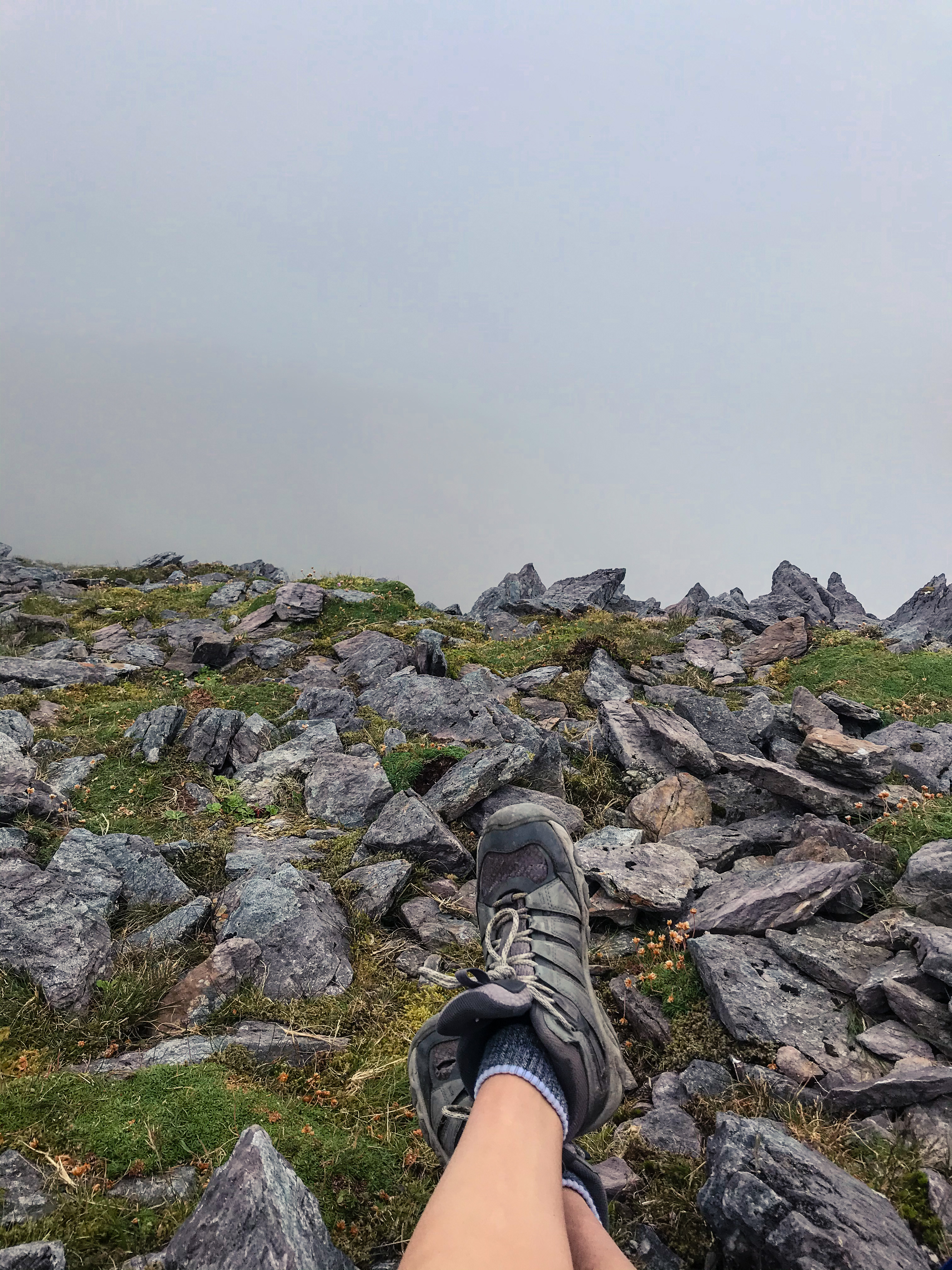
After a few minutes’ break by the summit, we decided that we would continue on along the horseshoe rather than doubling back, and so we began to make our way down another side of the mountain and toward Beenkeragh. The trail here is obvious as you slope down from the Carrauntoohil summit, and then disappears into a mess of rocks and ridges. I think we took a more difficult path than we actually ought to have, going over a few dicey ledges because we weren’t sure if it was the correct route, then seeing people walking along the other side on a much easier path. Either way, it gets knife-edge thin in some spots and definitely isn’t one for those who don’t like heights.
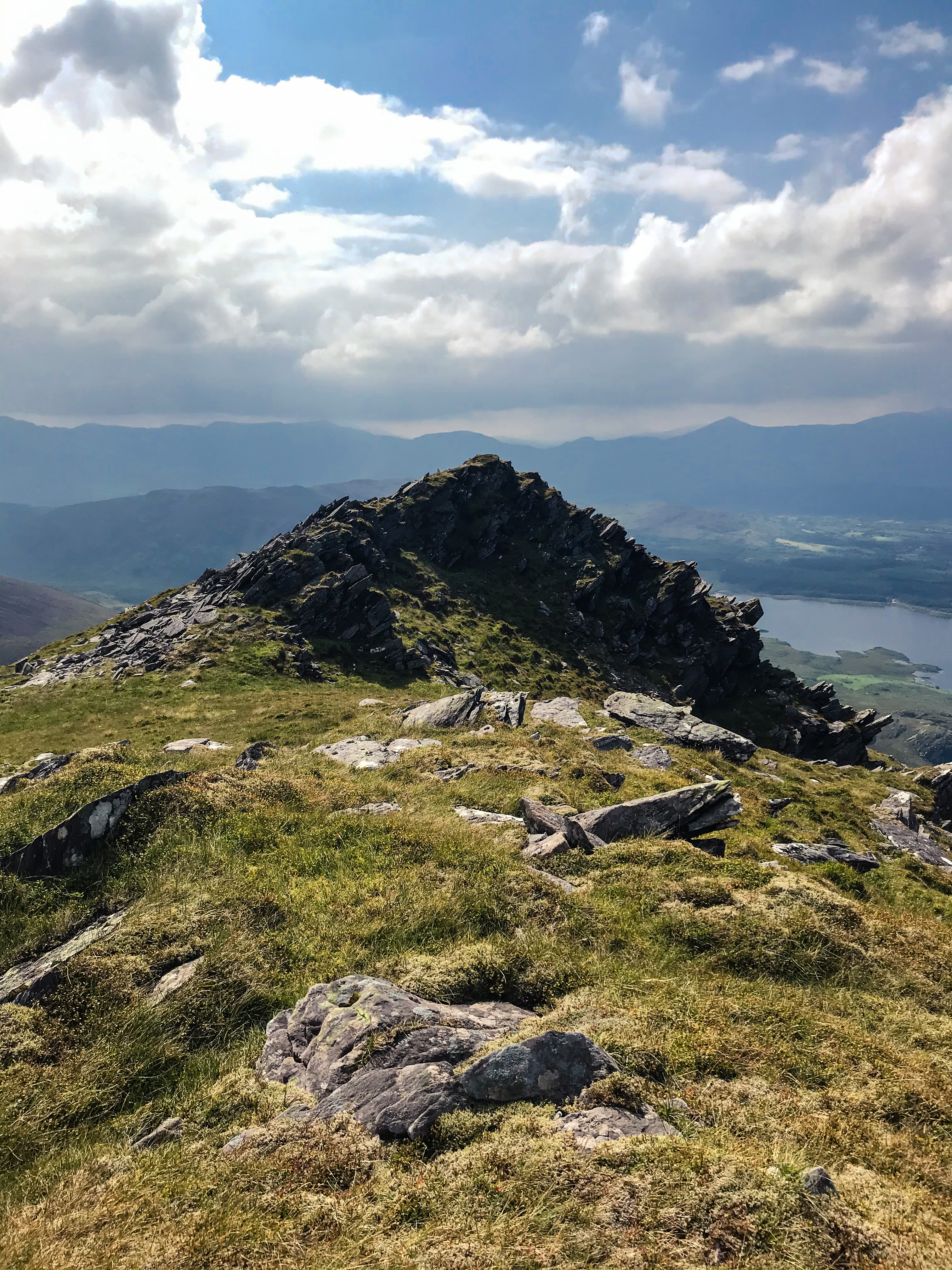
Once we got over the top of Beenkeragh it was another, milder downhill and uphill to summit Skregmore. Here there was pretty much no trail at all, but it was much less steep and easy to pick out a route over the rocks and scree that covered the peak. Then we followed the sheep down the final slope until we returned to the lake. One final downhill down the farm road (honestly, this was probably the hardest part, walking down steep, sloped pavement on tired legs) and we were back at the carpark.
While we didn’t have the amazing weather we had on our first trip up Carrauntoohil, this route definitely offered more adventure and less crowds. It took us about 5.5 hours in total and was a day well spent. It definitely won’t be the last time I stand on top of Ireland, and there are still some routes I’m keen to try (including the ones that require proper rock climbing and equipment, for which I’ll probably join a guided group like the ones run by Kerry Climbing). And while there aren’t any more places to stand taller in the country than Carrauntoohil, I’m now even more fired up about tackling some other famous Irish mountain walks like Coumshingaun in Waterford, Croagh Patrick in Mayo, and Benbulbin in Sligo. Happy hiking!

