
In Ireland we are currently restricted to our own 5km radius from home for exercise due to lockdown rules. Unfortunately, we live on a fairly busy and not very interesting main road, so our walking options are limited. We had to get creative. So we took a look at this website to see what might be in our 5km radius that was worth exploring.

Crohane mountain immediately caught our eye—in fact, it catches our eye every morning because we can see it out the back window. However, despite looking at it from afar his whole life, Steve had never hiked up it, and of course neither had I, so off we went on Saturday morning.
Unlike Torc or even Mangerton mountains, Crohane is well off the beaten path, without even a sign to mark the trailhead. Near Glenflesk (a small town just outside of Killarney), you drive along a gravel road until you reach a farm (I’ve read some accounts of successfully asking the farmer for permission to park on his land, but he was nowhere in sight when we arrived so we parked a bit farther down the road).
We were the only car around. One other couple came on the trail shortly after us, so there were only four people on the entire mountain. Compared to the busyness of a hike like Torc, it was a nice treat to find one that was so quiet and secluded.

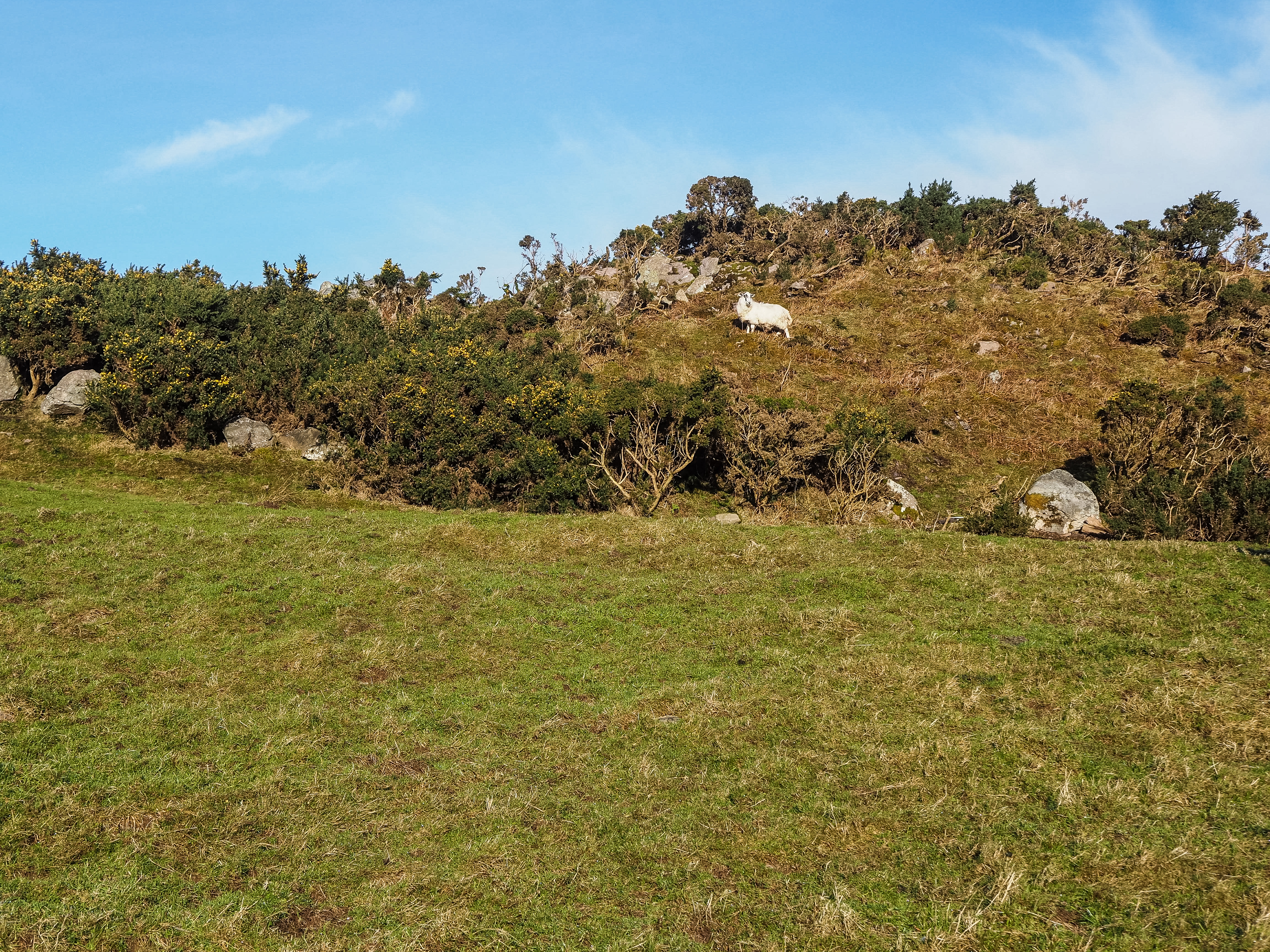
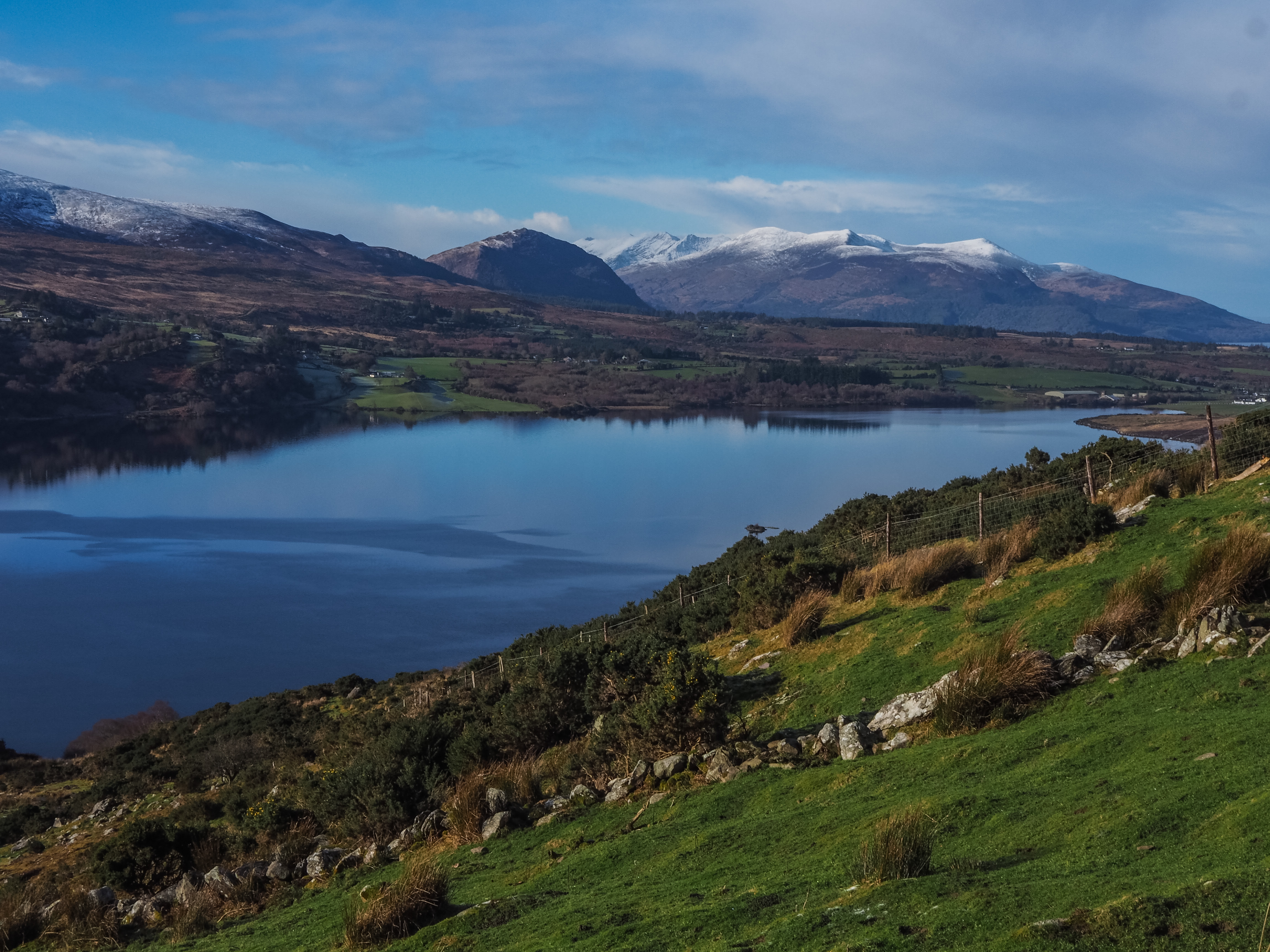
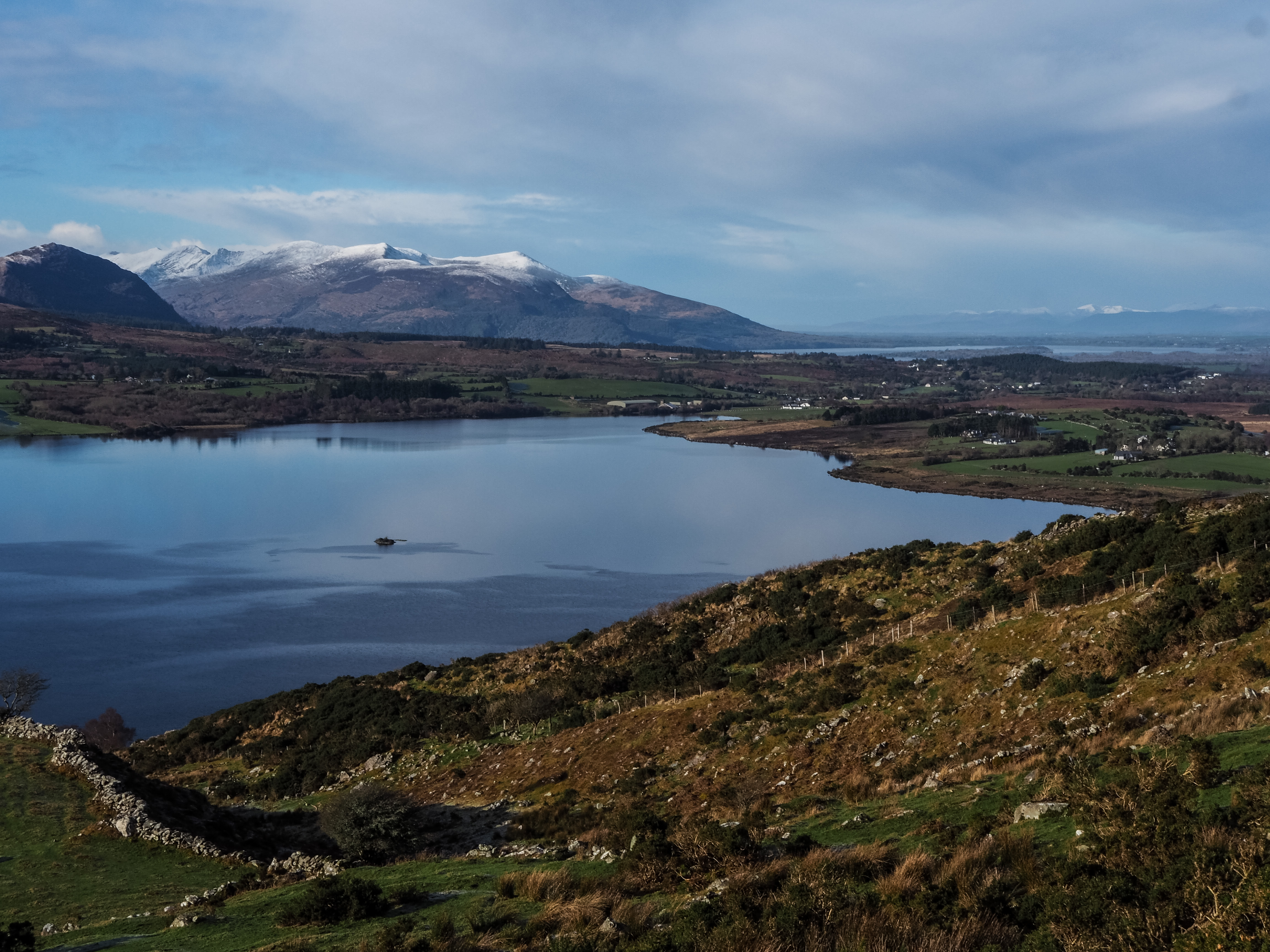
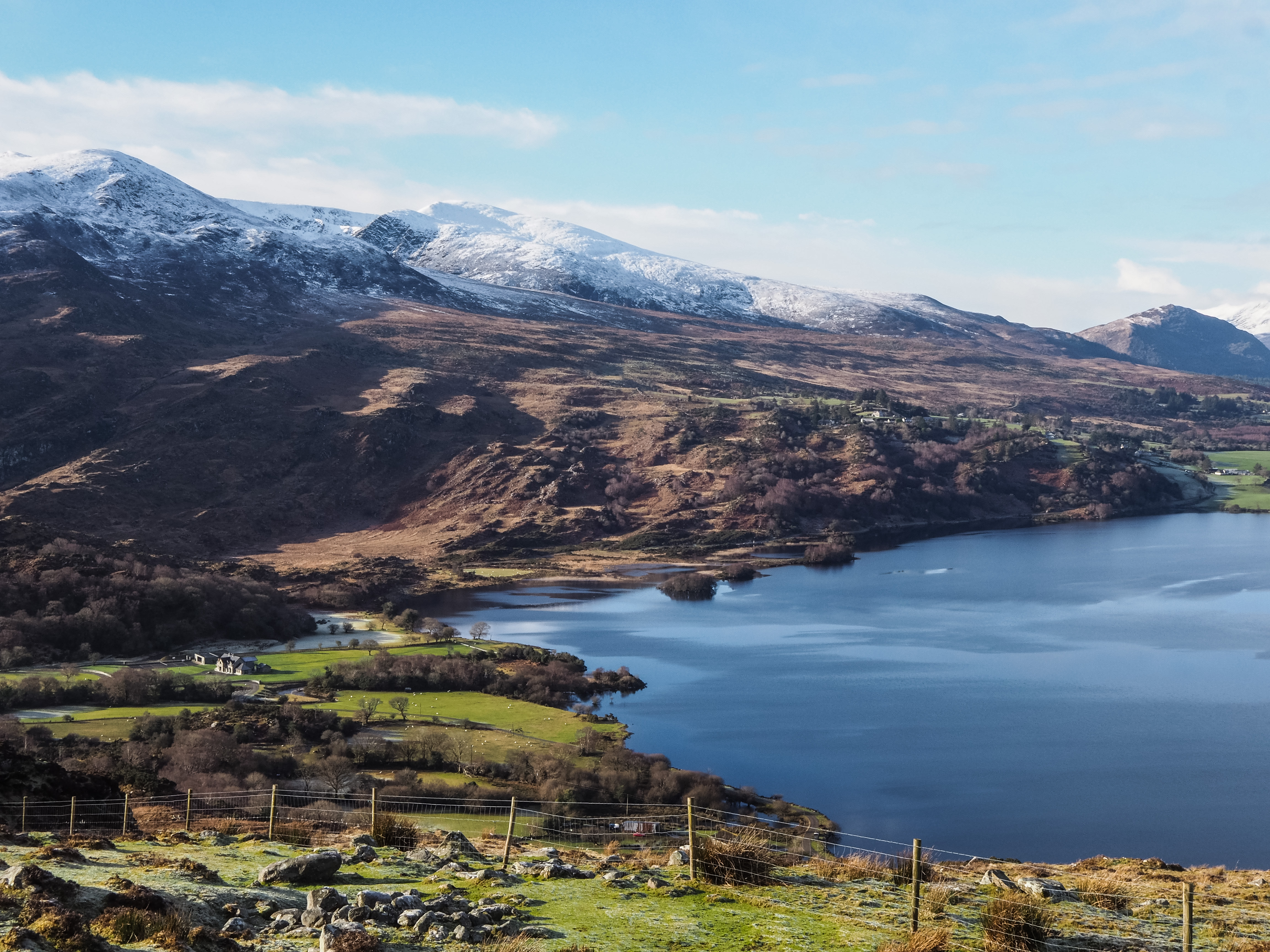
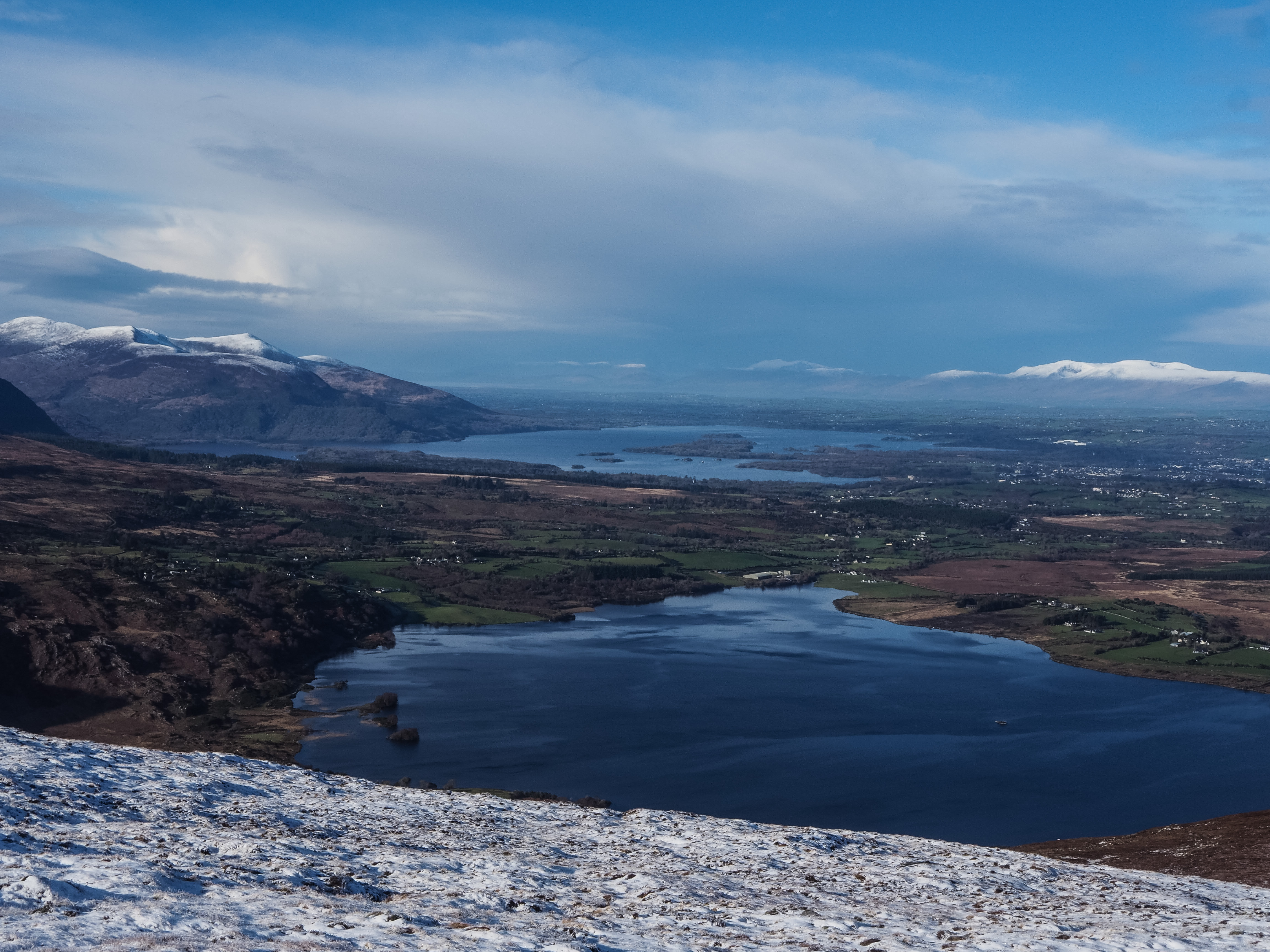
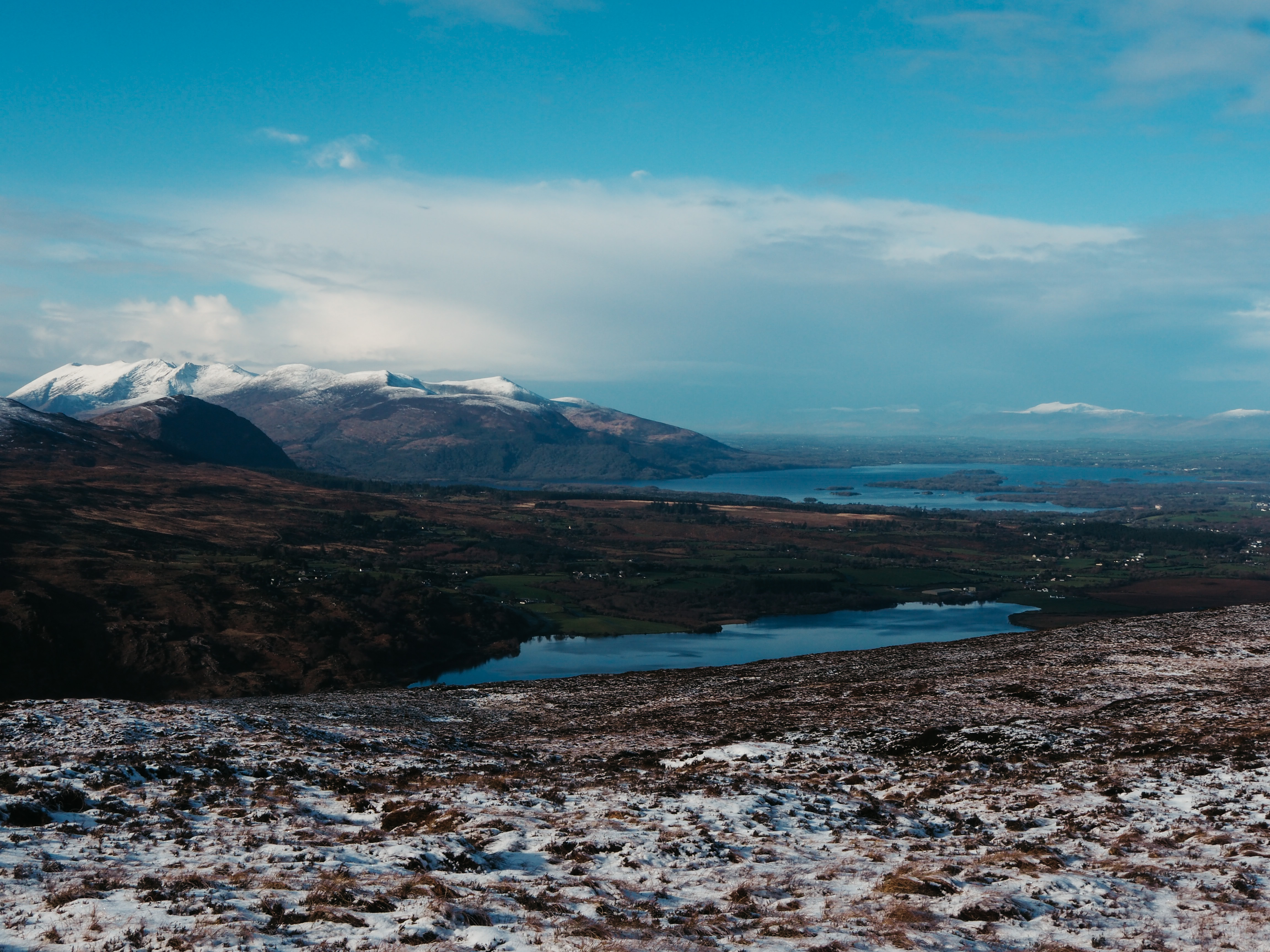
The trail begins on a wide path that the farmer uses for tractors, and it zigzags lazily up the hill. This first part of the hike is not a bit strenuous or steep, but it does immediately reward you with incredible views of Lough Guitane. On a clear day like Saturday, we could see all the way across to Lough Leane (the main Killarney lake), the Macgillycuddy Reeks, and even as far as the Slaibh Mis range near Tralee. It seemed like every time we turned back for a look, the views got better and better.
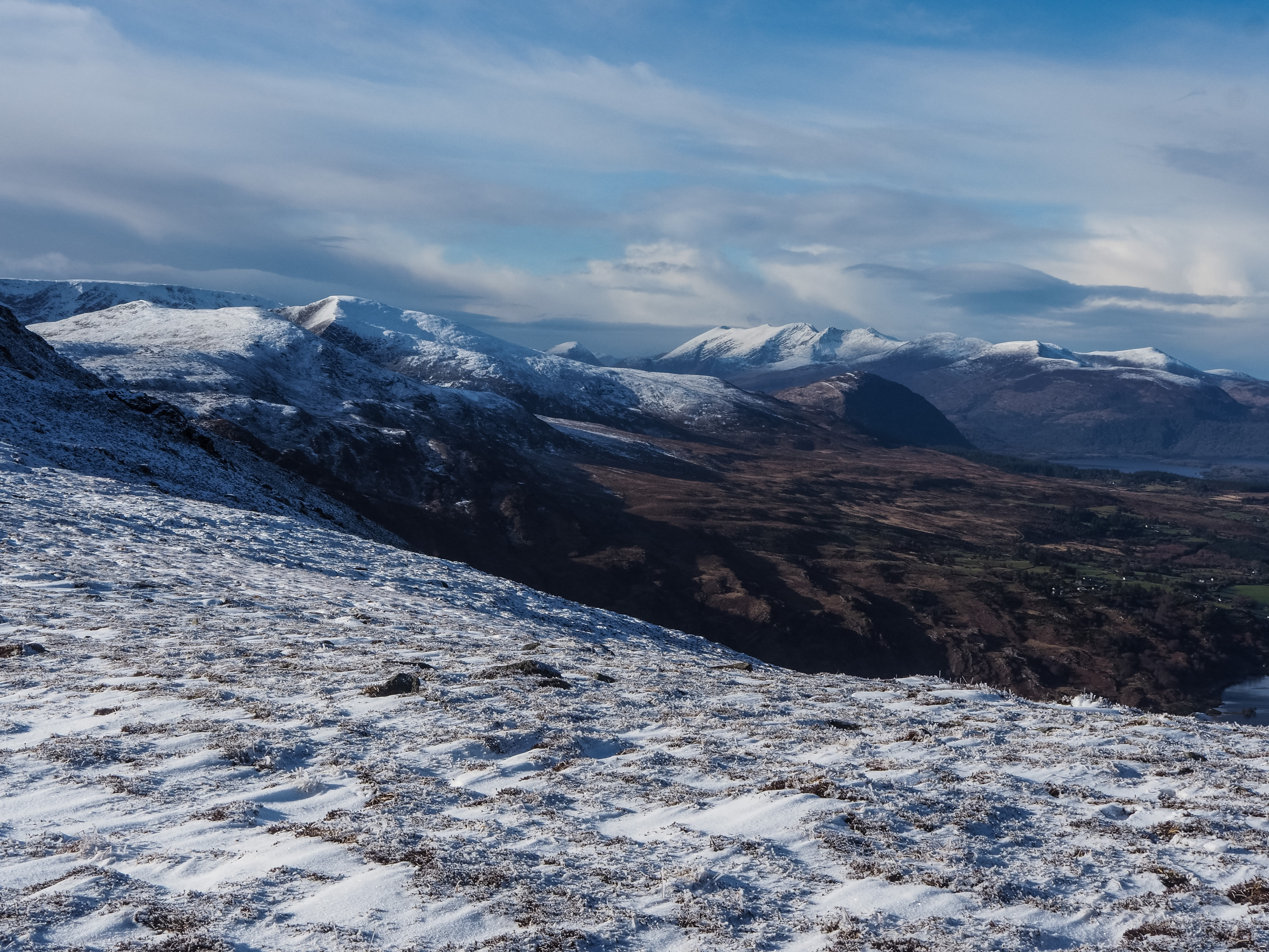
At the top of the tractor path the trail disappeared. We walked along a fence until we reached the top of the hill. From here we could look out across the other side to the Paps of Anu, a pair of breast-shaped mountains named after a mother goddess of Irish mythology. From here, although there was still no path to speak of, the way was clear. We could see the top of Crohane marked by a metal pole upon its summit, so it was simply a matter of makig our way up.
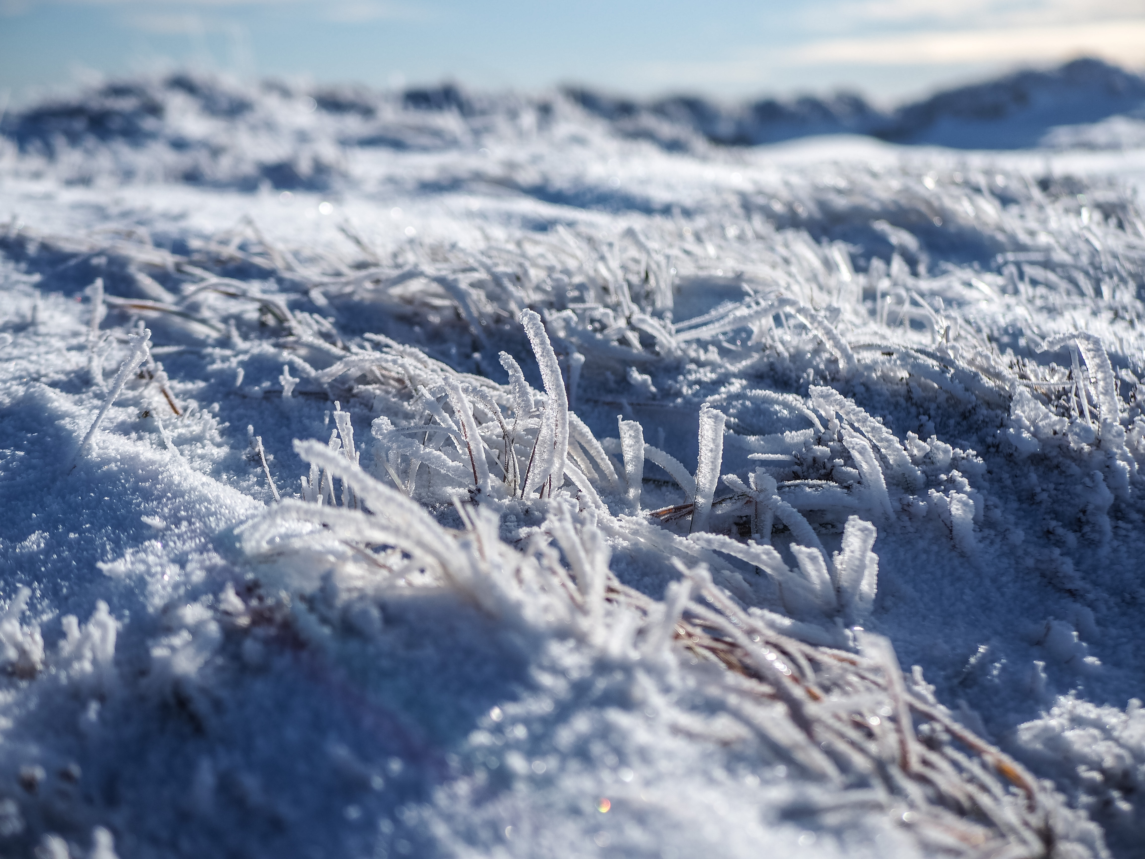
The ground quickly became snow-covered as we ascended. I imagine it would be a less pleasant hike in warmer weather, akin to the mucky, muddy walk up Mangerton, but in near-freezing temperatures it was dry, snowy, and frozen. The first few minutes of this last leg were steep, and we were wary of stepping on an icy rock rather than forgiving heather beneath the snow.
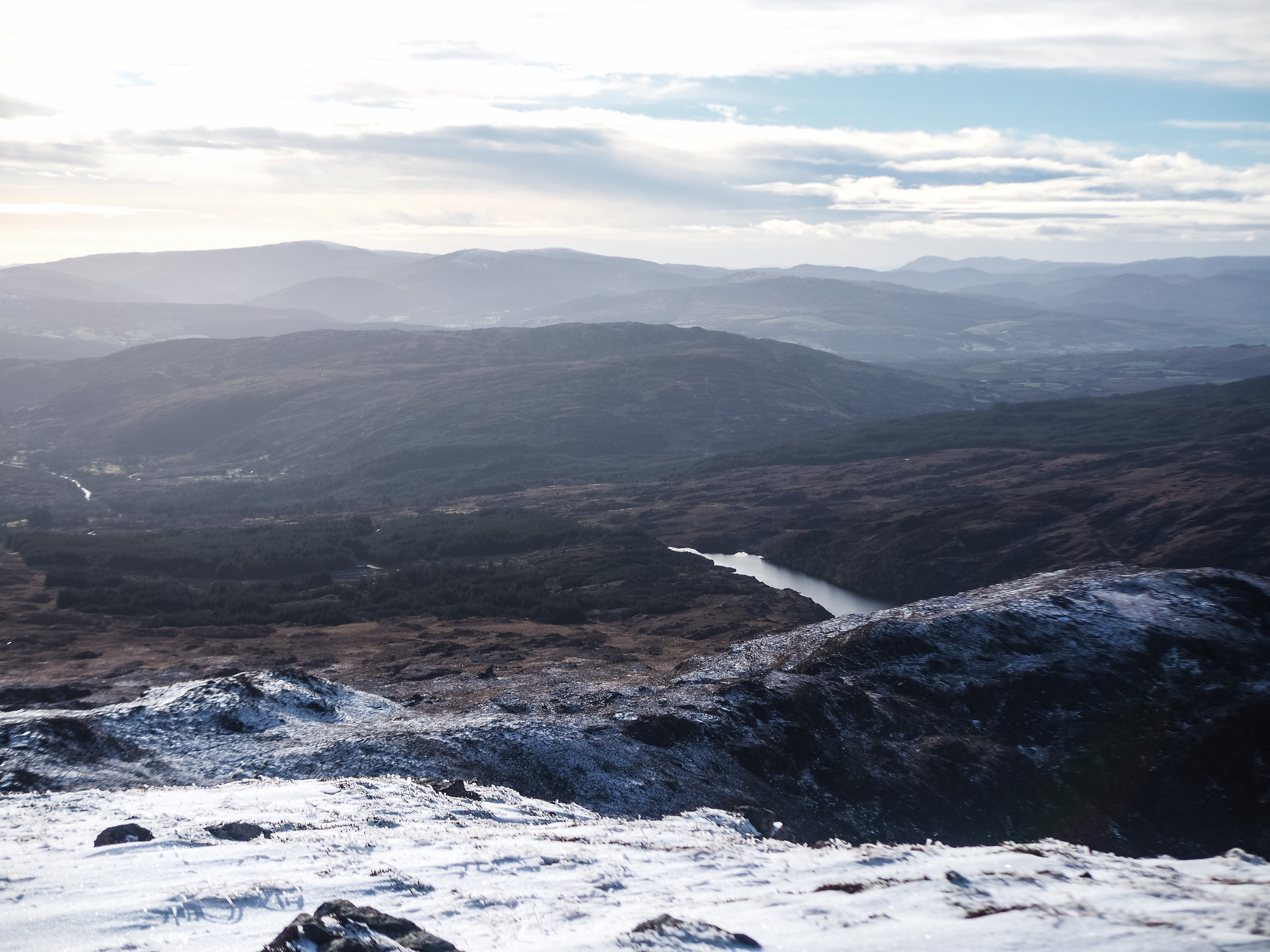
Then it levelled out and became easier going. We walked along the ridge until we reached the summit. From here we could look out across Kerry in both directions—with glimpses of the Dingle peninsula mountains on one side and over toward Kenmare bay on the other.
The way down was the same as the way up, but easier because we could simply follow our own tracks in the snow rather than looking for an ideal route. Soon enough, we were back on the tractor path and headed down through the farmer’s land (we saw him out tending to his sheep and gave a wave) back to the start of the trail.

Crohane mountain is a simple but rewarding hike, just under 8km and 2.5 hours (including time spent admiring the landscape). The mountain is around 700m high but the trail begins on a hill so actual ascent is only a bit more than 400m or so.
Unless you’re also lucky enough to have this hike in your own 5km, you’ll have to wait a while to venture up, but it’s definitely one worth adding to the list for its unfrequented nature and incredible views.

These off the beaten tracks ones are the best .