A couple of weeks ago Steve and I met up with our friend Tom for a long weekend in Scotland. We were supposed to be seeing Billy Joel (or, if you’re Irish, Billy Jo-el for some reason) but with the gig cancelled and our flights were already booked, we turned our attention from Bill to Ben and set out to take a hike up Scotland’s highest mountain.

Scotland’s mountains over 3,000 ft (914.4 m) are called Munros, after the man who made the first list of these hills and mountains, and Ben Nevis (Beinn Nibheis) is the tallest at 4411 ft or 1345 m. Side note: this is 306.4 metres higher than Ireland’s highest, Carrauntoohil, but who’s counting?
Hiking up one of these mountains is called “bagging” a Munro, and there plenty of folks that have made it their mission to bag the whole lot (all 282 of them). We’ll start with this one, anyway, but given how much I absolutely loved my short time in the Highlands (I’d only ever been to Scotland once before, on a brief weekend trip to Edinburgh when I was studying in London years ago), I’m sure it won’t be the last.

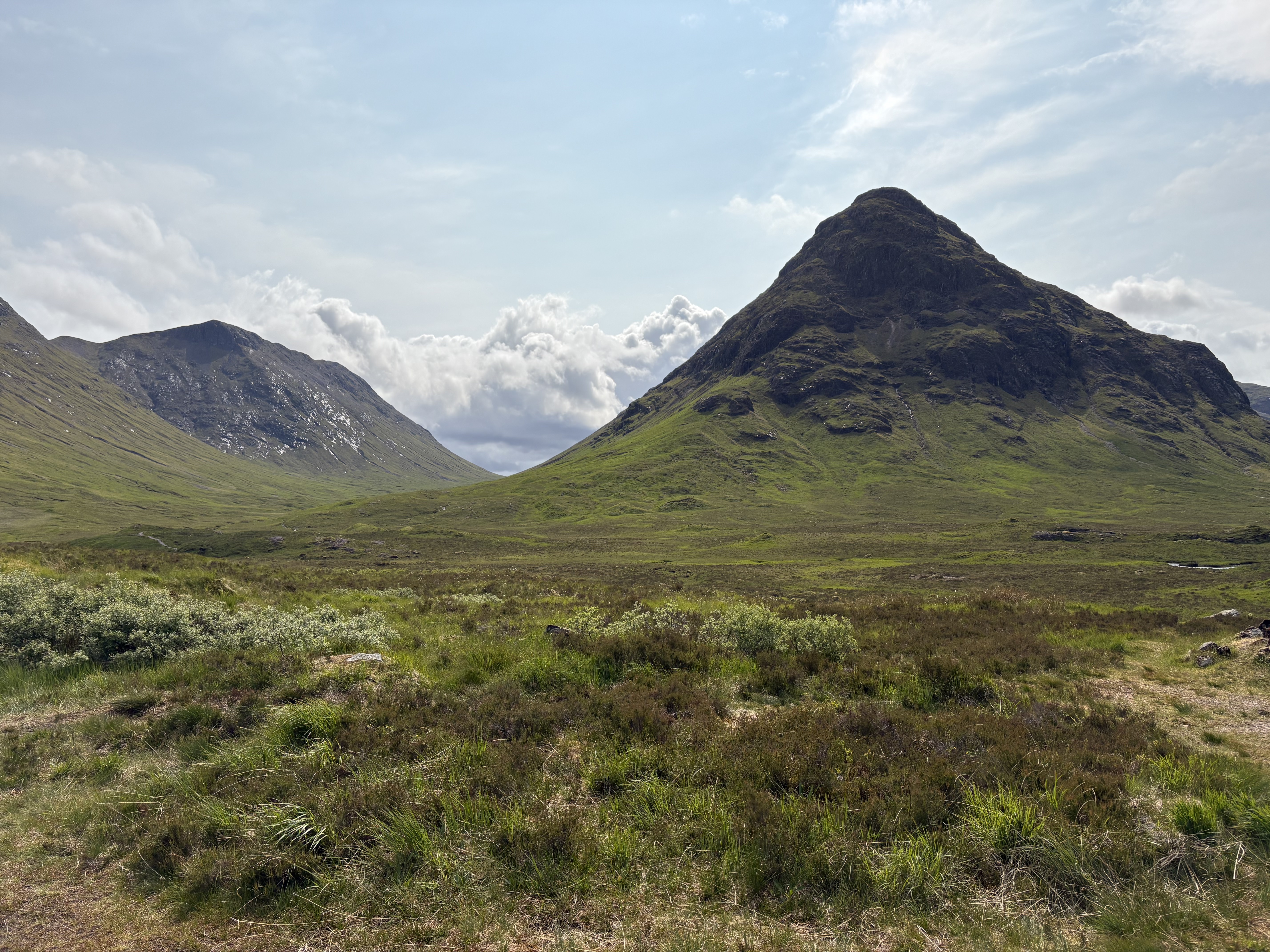
After picking up our rental car at Edinburgh airport, we started on the drive up to our base of Fort William. Although google maps will tell you that this should take three hours, if you’re following this route you’ll want to give yourself an entire day, as we did, for stops at the lovely Ben Lomond, the gorgeous Glencoe, and every random beautiful pull-off and viewing point in between.
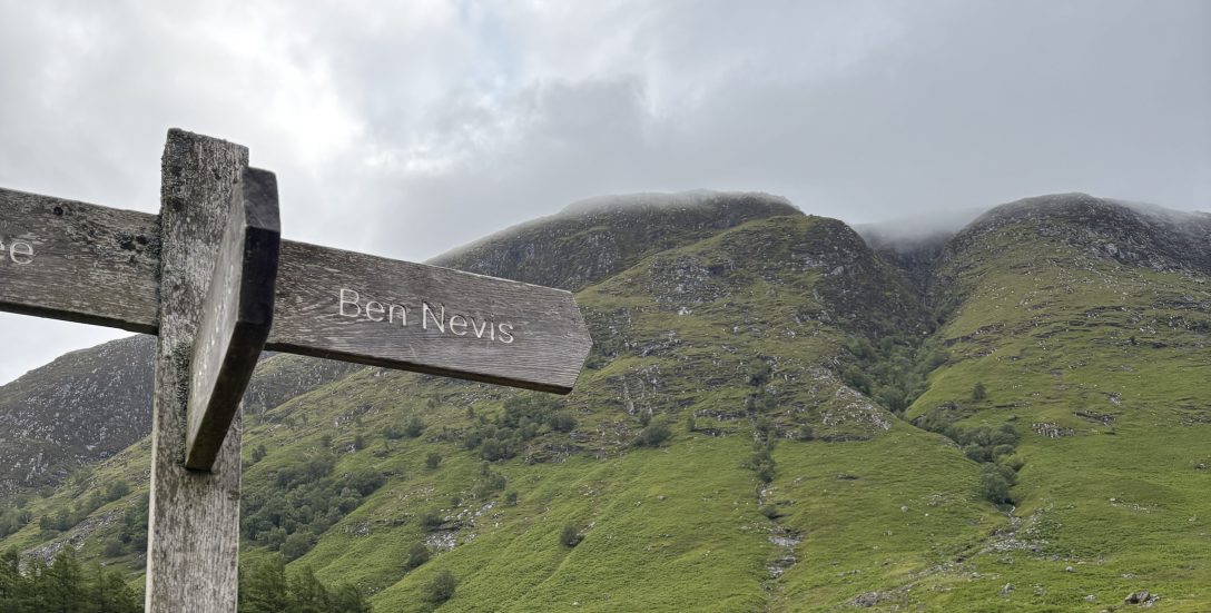
The next morning we started bright and early on our trek, driving a quick ten minutes from our accommodation to the visitor’s centre and trailhead (parking £6 for the day — there’s space for about 80 cars but it was already filling up quickly when we arrived just before 9am on a Friday morning).
The path is wide and well-marked throughout; while it’s always important to be well prepared and it’s good to have some orienteering skills in case of low visibility, it’d be a difficult one to get lost on, especially given that there were a decent number of fellow hikers throughout the journey.

The hike is fairly cruisey at the start, taking you up past some farmers’ fields and a few turnoffs to hostels and guesthouses for those who want to stay super close to the mountain the night before. But after a kilometer it starts snaking its way up the side of neighboring mountain Meall an t-Suidhe. The weather was beautiful for us at this point, a mix of clouds and sun but dry and with a light breeze that kept things cool even as we began to climb.
I’d read prior that Ben Nevis only gets an average of 14 clear days on the summit per year, though, so I kept my expectations low. Similar to Carrauntoohil, I figured the top of the mountain would likely have its own little microclimate, meaning you could have clear skies and sun on the way up, and the complete opposite as you reached the top.
Around 3.5 km in, we passed a small and beautiful lake and then turned up on to Ben Nevis proper. Another kilometer took us to the halfway point, according to the map at the trailhead that said however long it took you to reach the stream crossing at Red Burn you’d spend the same time again reaching the summit (and then approximately 3/4ths of that time descending).
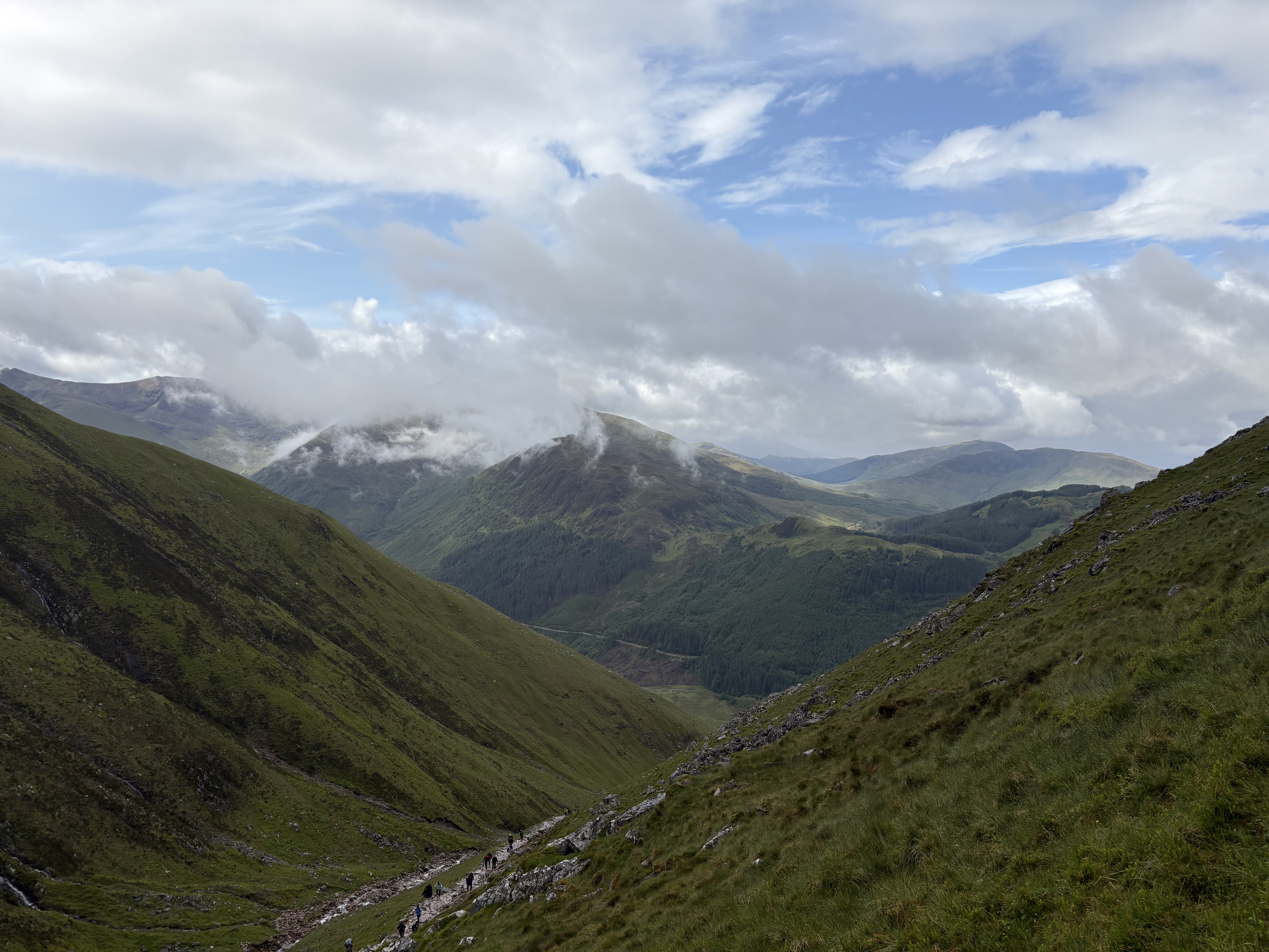
From here it started to get tougher, with a series of switchbacks heading up through the rocks and scree. And the weather started to change as well, with the clouds thickening into a misty fog and the visibility ahead lessening into a haze of grey and white. We spotted the first patches of snow on the ground as well, apparently leftover from a heavier fall a few nights before. This was only a few weeks ago, in June, remember.

Around 7.5 kms, near the summit, when the snowfall on the ground was thicker and the hikers ahead of and behind us quickly disappeared into the whiteout conditions, we passed a couple of steep gullies — slightly unsettling given the low visibility. You wouldn’t want to stray too far off the path here. But a series of rock cairns built up along the route kept us in check, and just past 8 kms we reached the summit!

The trek back down takes you the same way, and as we descended the skies began to clear and the air began to warm again. True to the trailhead map’s guidance, the hike that took just over 3 hours on the way up took about three-quarters of that on the way down, and we found ourselves back at the trailhead in a bit under 6 hours total.
In terms of strenuousness, I would put Ben Nevis as being comparable to Carrauntoohil, despite being a bit higher. It was longer (~16km compared to ~14km) but there were a few flat(-ish) stretches near the top that gave a bit of a break compared to Carrauntoohil’s final push through a steep field of scree. While it was definitely tough on the knees and I wished that I had been able to bring my hiking poles (we were traveling carry-on only so it wasn’t an option), Steve and I did manage to shuffle through a slow 5km jog the next morning at Fort William parkrun, if that tells you anything.

After another night in Fort William, toasting our achievement over a few pints at Black Isle Brewing, we left for a drive up along Loch Ness to Inverness the next day, and then headed back to Edinburgh to fly out on the Sunday.

I’d been dreaming of visiting the Highlands since my small trip to Edinburgh 14 years ago, and between the things we knew we wouldn’t have time to do (namely the Isle of Skye) and the things I heard about while we were there or looked up since we’ve come home, I am eager to return again. Maybe to bag a few more Munros!